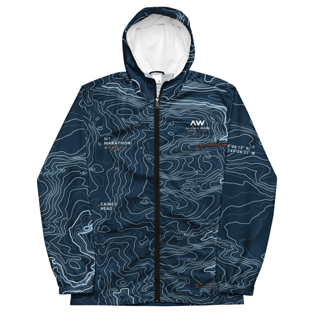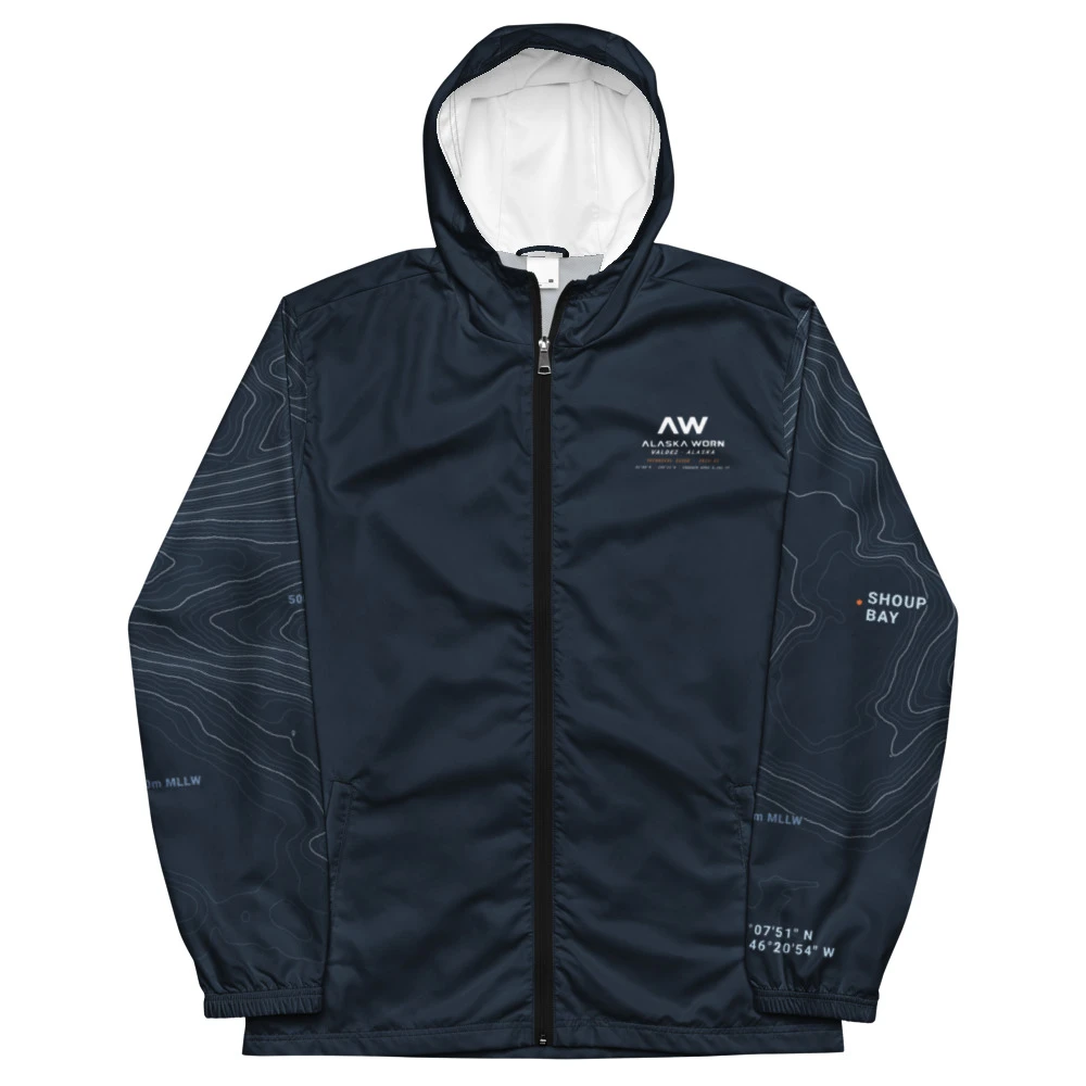

Seward Resurrection Bay Technical Fjord Windbreaker
Full-bleed 25K USGS 3DEP elevation data and source-verified NOAA bathymetry across Resurrection Bay.
Twelve cartographic garment plates from our 30 surveyed Alaska quads. Every shell is engineered from official USGS 3DEP elevation data, NHD hydrography, and source-verified NOAA bathymetry on Cut & Sew Blank #615.
Full-bleed 25K USGS 3DEP elevation data and source-verified NOAA bathymetry across Resurrection Bay.
V-Crest chevron blocking framing the 4.5-mile Homer Spit and Kachemak Bay trenches.
Summit Yoke alpine articulation across North America's highest massif and Kahiltna icefall.
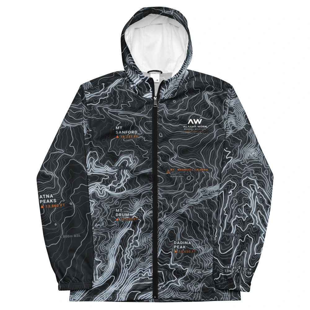
High-relief volcanic caldera contours and Kennicott Valley glaciation in 25K resolution.
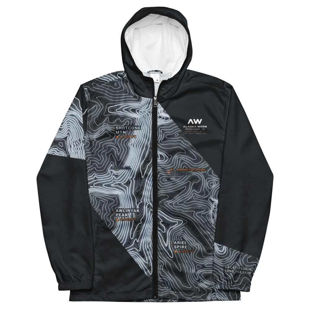
Arctic granite spire contours above the Kobuk drainage in the central Brooks Range.
Tidewater-to-18,008 ft vertical relief where Tyndall Glacier meets the Gulf of Alaska.
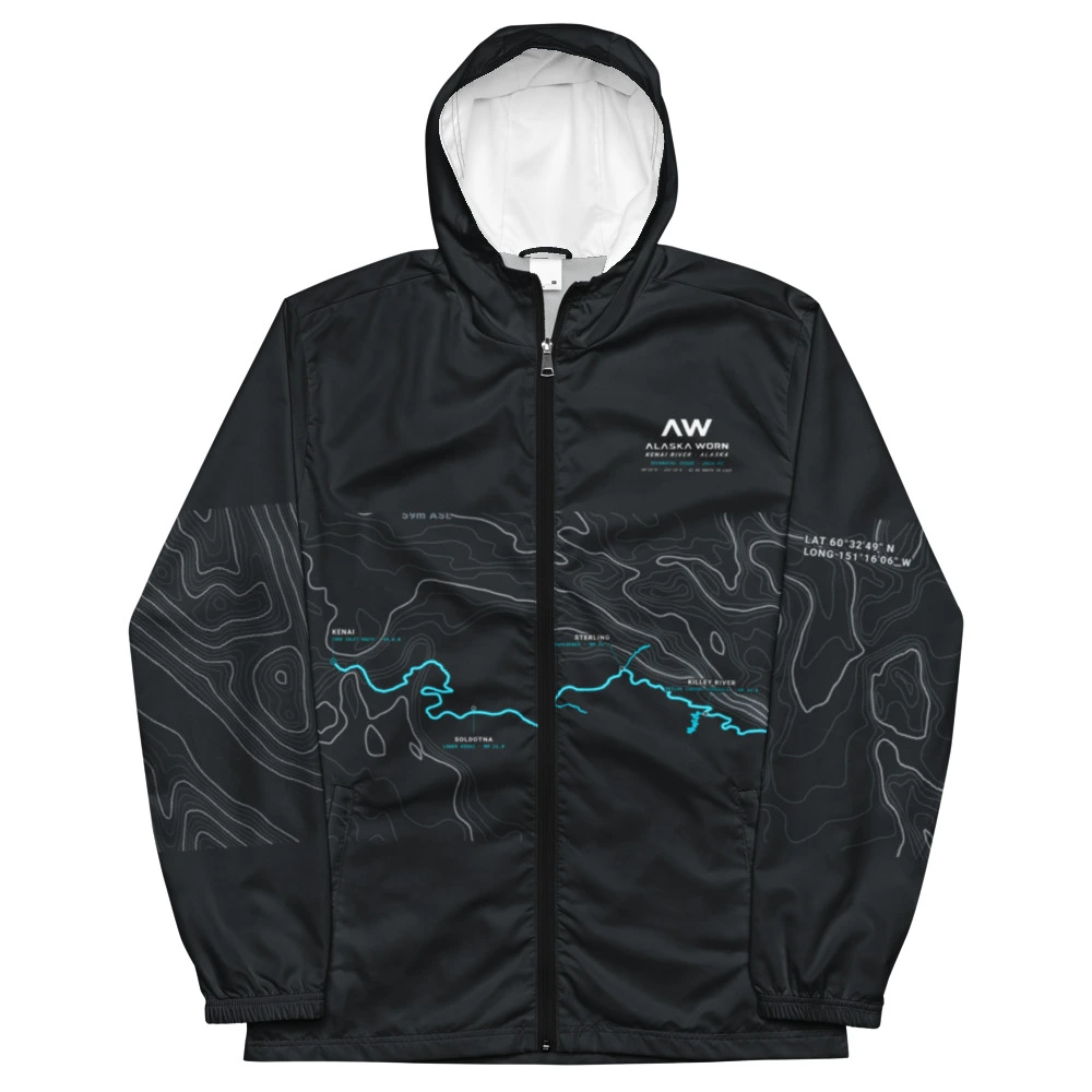
Continuous NHD hydrography tracing the turquoise glacial outflow from Cooper Landing to Kenai.
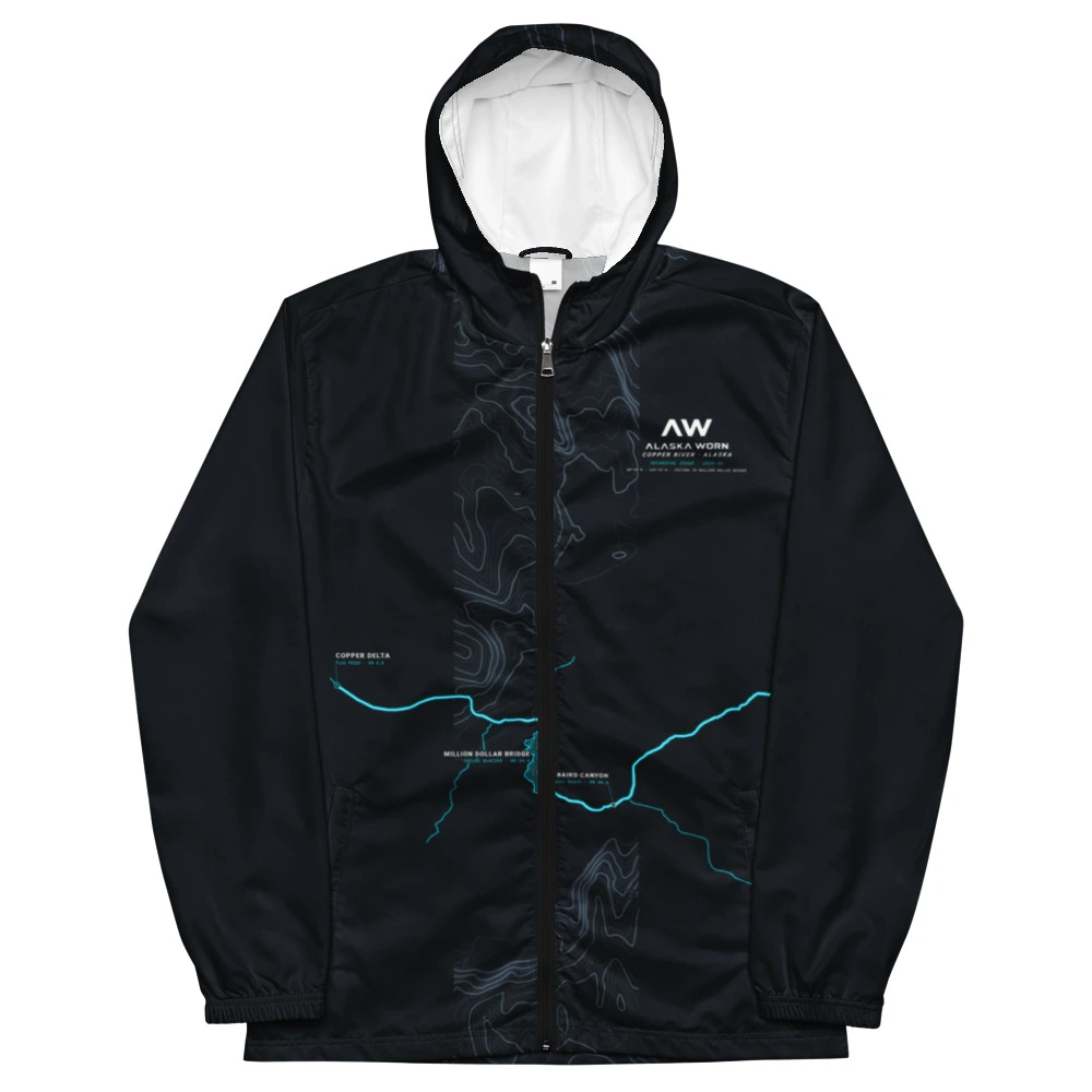
Chitina confluence through Wood Canyon and Baird Canyon to the Copper River Delta.
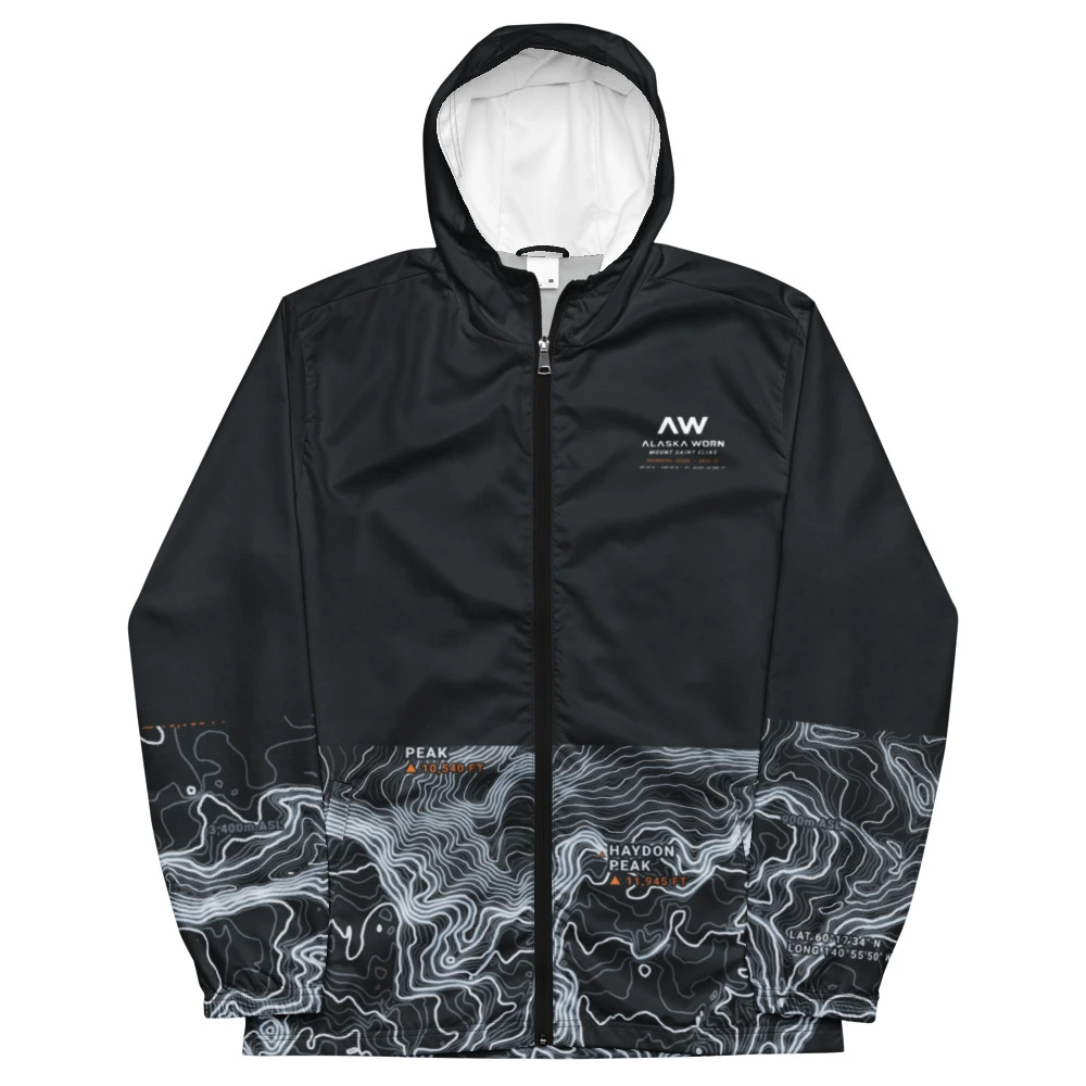
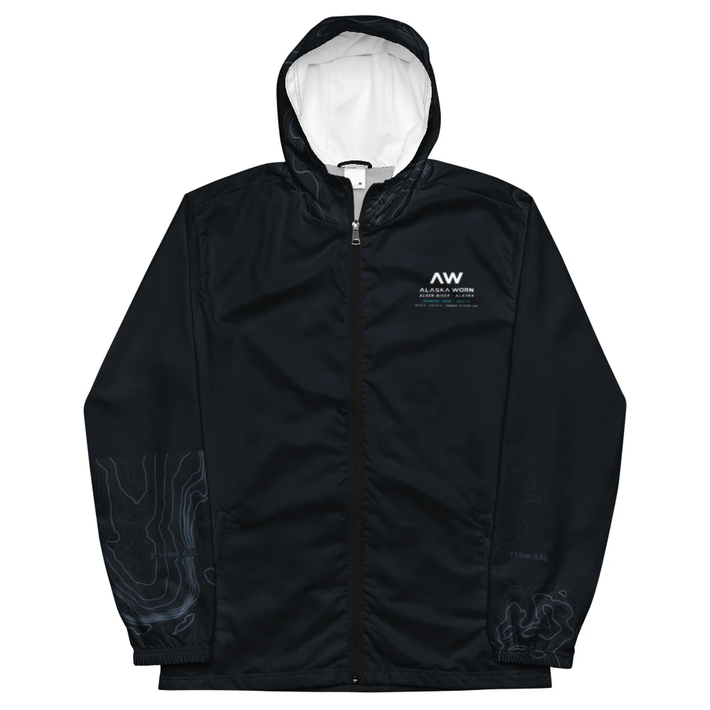
Transboundary glacial canyon corridor cutting between the Fairweather and Brabazon ranges.
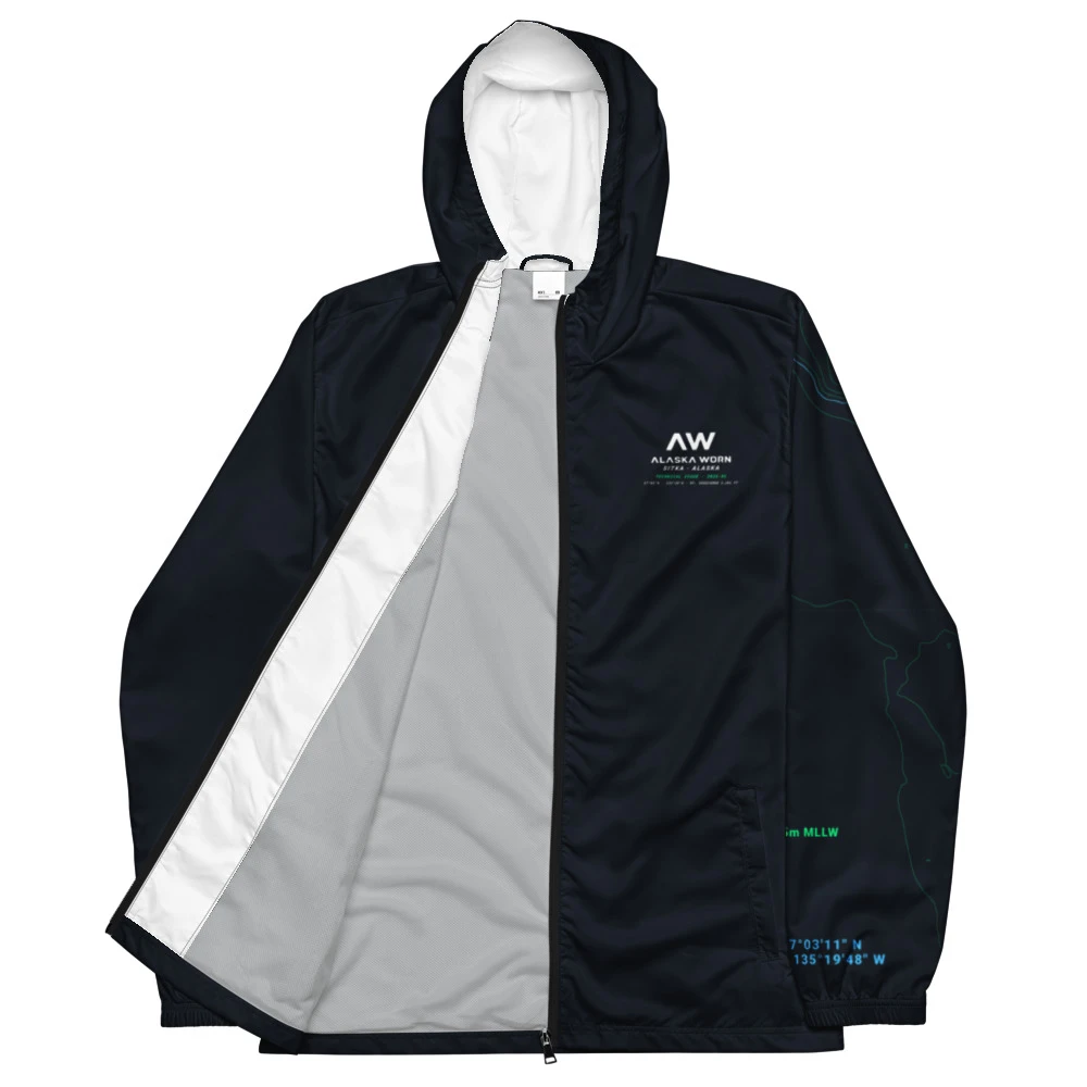
Archipelago bathymetry and Near Island channel soundings with solid articulated sleeves.
Outer-coast volcanic cone and Baranof Island fjord topography on Blank #615.
Deep-water Chugach fjord soundings and Keystone Canyon alpine walls.